Georgetown
This map outlines the boundaries of the Southwestern University Public Utility District, with the development first phase of the SU 560 plan highlighted in red.
First phase of SU 560 plan heads to P&Z
Georgetown family treasures Montana rock carvings
This map highlights where the high- and low-density multi-family housing would be in relation to the commercial development. Lot number four would house a gas station. (Map courtesy City of Georgetown)
P&Z Commission unanimously rejects Shell Spur mixed-use project
Overpass struck, causing road closures
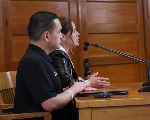
Misty Valenta, director of animal services for Wilco, back, is joined by Laura Donahue, senior director of Best Friends Animal Society, front, to report on the Williamson County Regional Animal Shelter’s success in 2024. Photo by Nalani Nuylan.
Happy Trails: Animal shelter keeps no-kill status
This map details the types of development that will be within Heirloom. The purple special district will hold commercial businesses, and the blue public district will hold a new Georgetown ISD school. (Photo courtesy the City of Georgetown)
620-acre mixed use plan unanimously approved
This map shows green spaces and 20 different parcels of land in the Lakeside Estates development, located north and east of Santa Rita Ranch in far west area of Georgetown’s extraterritorial jurisdiction. (Map courtesy City of Georgetown)
Lakeside Estates approved for 1,300 units, resort
Georgetown City Council approves $1.3 billion budget on first reading
This map shows how Georgetown’s water service territory will be divided for sale. Multiple pieces of the territory are in the extraterritorial jurisdiction of other cities and stretch into Bell County. The part covered with diagonal lines will remain in Georgetown’s water service territory to support city residents. (Map courtesy City of Georgetown)