flooding
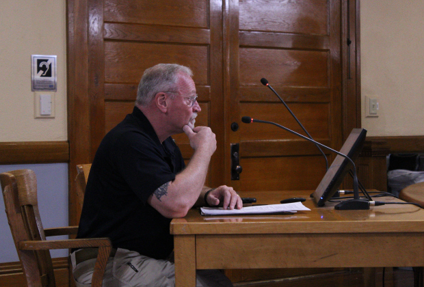
Bruce Clements, Wilco’s Director of the Office of Emergency Management, explains how the updated Hazard Mitigation plan can get grants to the county to improve infrastructure. Photo by Nalani Nuylan.
County debuts refashioned mitigation plan
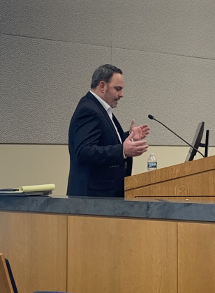
Wes Wright details the results of the Atlas 14 study and its impacts to the area to city council. (Photo by Kaitlyn Wilkes)
Georgetown takes direction from county study in updating floodplains
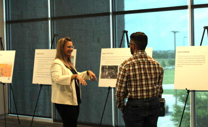
Cindy Engelhardt, left, explains how the Atlas 14 maps show rainfall data to Jarrell City Engineer Jorge L. Hernandez. Photos by Nalani Nuylan.
County debuts Atlas 14 results
Williamson County releases updated floodplain findings
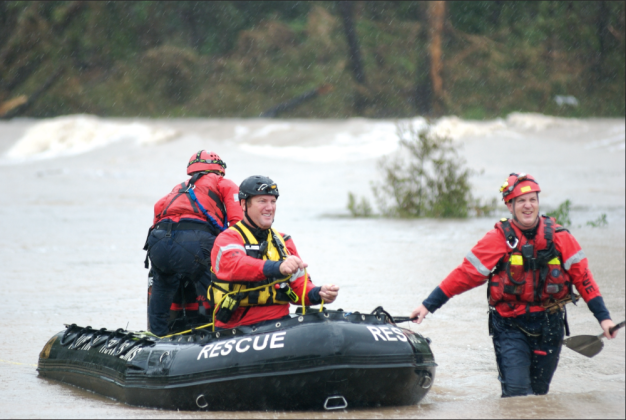
Travis County Emergency Paramedics maneuver a rescue boat in the San Gabriel River off Highway 29 during the 2010 floods. Sun Archive Photo.
Floods have written Williamson County’s history
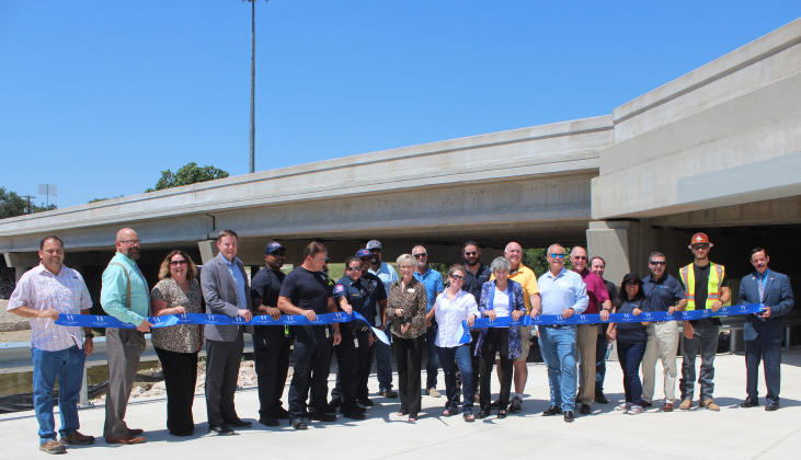
September 1921 takes its place in Williamson County’s historic archives. Fueled by a hurricane that formed in the Gulf of Mexico, a wicked storm pummeled Williamson County September 8-10, lasting 35 hours.At the ribbon cutting, from left, were Oscar Salazar-Bueno, Whit Friend, Christen Eschberger, Scott Haywood with the Sam Bass Fire Department, Steven Shull, Precinct 3 Commissioner Valerie Covey, Tracy Cooper, Joelle Rosentswieg, William Sherwood, Precinct 1 Commissioner Terry Cook, Kim Filiatrault, Michael Tucker, Ken Reifschlager, Steven Waters, Janet Rubiano, Nester Rubiano, Aaron DeNucci, Richard Ridings.