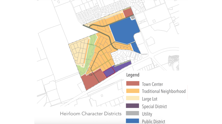
This map details the types of development that will be within Heirloom. The purple special district will hold commercial businesses, and the blue public district will hold a new Georgetown ISD school. (Photo courtesy the City of Georgetown)
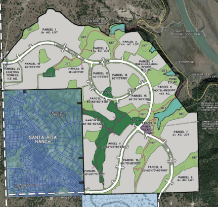
This map shows green spaces and 20 different parcels of land in the Lakeside Estates development, located north and east of Santa Rita Ranch in far west area of Georgetown’s extraterritorial jurisdiction. (Map courtesy City of Georgetown)
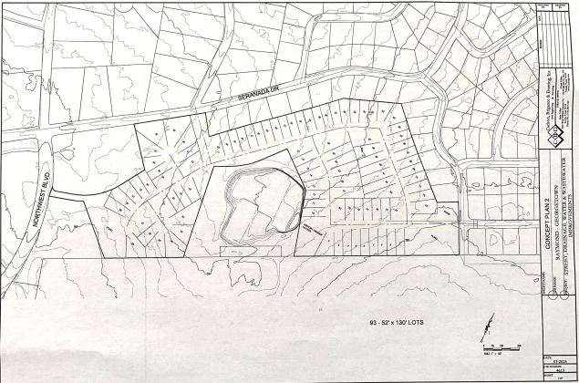
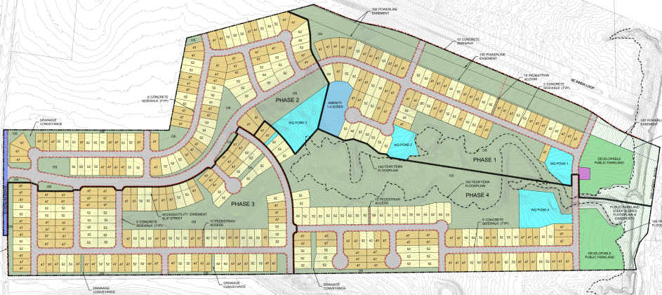
A preliminary concept plan for the development shows 93 lots for the neighborhood between Serenada and the airport. (Map courtesy City of Georgetown)
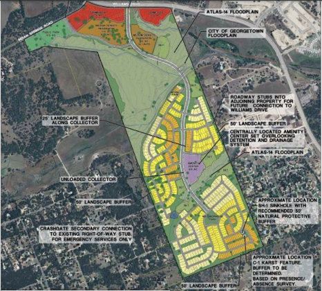
A map of Atkinson Ranch shows how the property is divided by a large floodplain. (Courtesy Del Webb)
An aerial view of the West Bend development from the north, with other parts of Wolf Ranch visible. (Courtesy Hillwood Communities)
This rendering shows what the multifamily housing would have looked like and how parking would have been accommodated. (Courtesy Land Strategies Inc.)