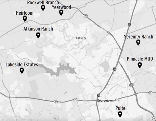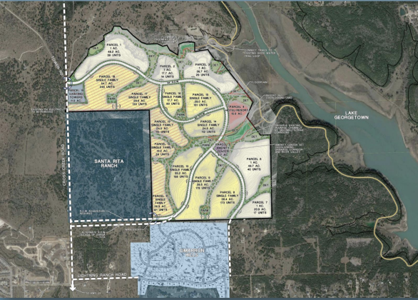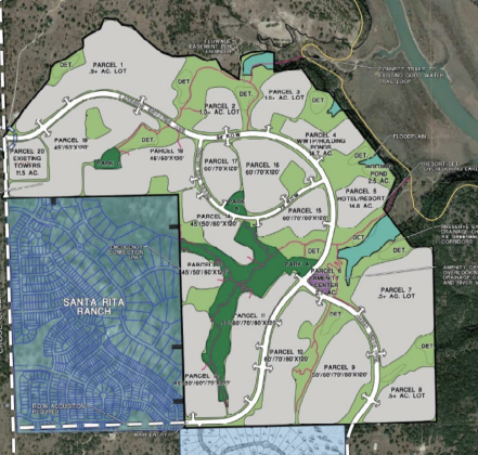
This map shows green spaces and 20 different parcels of land in the Lakeside Estates development, located north and east of Santa Rita Ranch in far west area of Georgetown’s extraterritorial jurisdiction. (Map courtesy City of Georgetown)
Lakeside Estates approved for 1,300 units, resort
Kaitlyn Wilkes
Lakeside Estates — 722- acre project southwest of Lake Georgetown and north of Santa Rita Ranch in the city’s extraterritorial jurisdiction —- was approved on second reading by Georgetown City Council on August 26.
Tuesday, September 2, 2025