Development

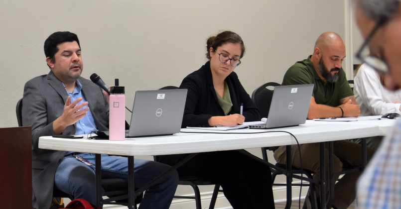
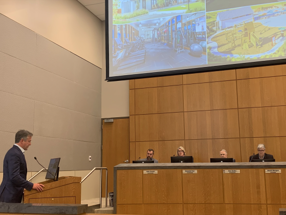
Georgetown Mayor Josh Schroeder, left, and County Judge Steven Snell, center, spoke about development in Georgetown and the county at a panel hosted by Glenn Hart, right. (Photo by Kaitlyn Wilkes)

Georgetown Mayor Josh Schroeder, left, and County Judge Steven Snell, center, spoke about development in Georgetown and the county at a panel hosted by Glenn Hart, right. (Photo by Kaitlyn Wilkes)

Area leaders talk county development, economy

During a September 3 discussion at the Palace Theatre about growth in Williamson County, Georgetown Mayor Josh Schroeder, County Judge Steve Snell and Georgetown Economic Development Director Cameron Goodman outlined changes to Georgetown and Williamson County’s economy and how the area is using...
This map outlines the boundaries of the Southwestern University Public Utility District, with the development first phase of the SU 560 plan highlighted in red.

This map outlines the boundaries of the Southwestern University Public Utility District, with the development first phase of the SU 560 plan highlighted in red.

First phase of SU 560 plan heads to P&Z

Right next to the quiet Southwestern University campus lies an opportunity for both the school and the city. A sprawling 560 acres is available for development that will give space for entertainment, commercial, office space, green spaces and residential housing.
This map highlights where the high- and low-density multi-family housing would be in relation to the commercial development. Lot number four would house a gas station. (Map courtesy City of Georgetown)

This map highlights where the high- and low-density multi-family housing would be in relation to the commercial development. Lot number four would house a gas station. (Map courtesy City of Georgetown)

P&Z Commission unanimously rejects Shell Spur mixed-use project

Georgetown’s Planning and Zoning Commission denied a Planned Unit Development request for a mixed-use multi-family and commercial proposal that would be located off Shell Road and Shell Spur.
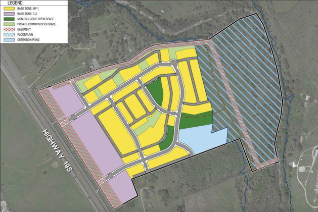
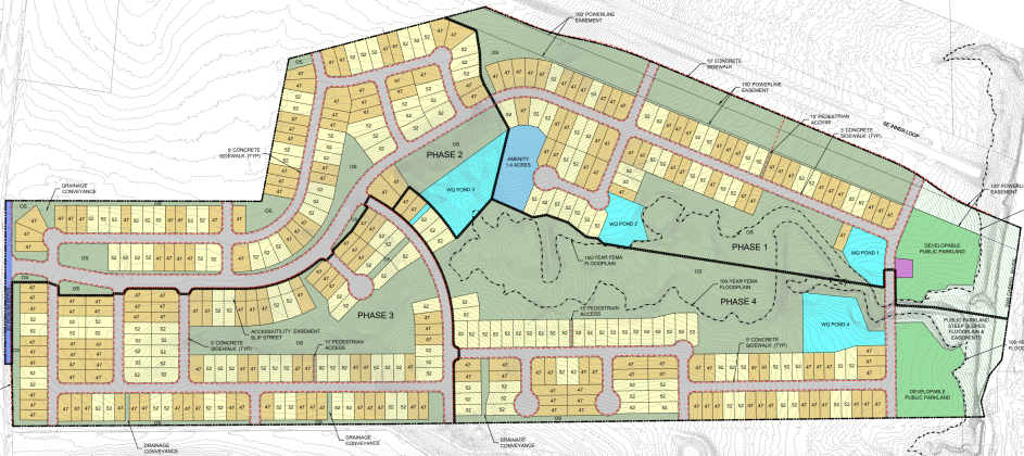
A map of the proposed development highlighted the different lot sizes according to color. However, no information on the specifics of the lot sizes or amount of houses in the subdivision were provided during the July 23 council workshop. (Map courtesy Gray Civil Engineering)

A map of the proposed development highlighted the different lot sizes according to color. However, no information on the specifics of the lot sizes or amount of houses in the subdivision were provided during the July 23 council workshop. (Map courtesy Gray Civil Engineering)

Council members, developer debate building impact fees

A proposed project that would straddle Georgetown and the City of Weir’s extraterritorial jurisdictions could bring 340 acres of single-family housing, a school site and an amenity center with some commercial aspects to the area. The proposed development is tentatively called the Pinnacle MUD.
This map of the city labels the different service areas and their boundaries, which determines Transportation Impact Fee amounts. (Courtesy City of Georgetown)

This map of the city labels the different service areas and their boundaries, which determines Transportation Impact Fee amounts. (Courtesy City of Georgetown)

Georgetown to charge developers more for roads

The City of Georgetown could update its Transportation Impact Fees, which are paid by developers to help cover the construction or expansion of roadway systems that would support their projects.
Georgetown’s water and wastewater service areas reach different parts of Williamson County.

Georgetown’s water and wastewater service areas reach different parts of Williamson County.

Developers could pay more for water, wastewater

Georgetown may increase its water and wastewater impact fees for developers to help offset the cost of maintaining services amid economic shifts and continued population growth. Currently, the maximum water impact fee is $12,215, and the wastewater fee is $6,129.
A preliminary concept plan for the development shows 93 lots for the neighborhood between Serenada and the airport. (Map courtesy City of Georgetown)

A preliminary concept plan for the development shows 93 lots for the neighborhood between Serenada and the airport. (Map courtesy City of Georgetown)

Serenada residents raise concerns over subdivision plan

Surveyors near Serenada shed light on a new development that could be built near the Georgetown airport by the intersection of Northwest Boulevard and Serenada Drive.

Georgetown appraised values continue to rise

Georgetown’s total property market value increased from $22.9 billion in 2024 to $24.75 billion in 2025, according to a valuation update from the Williamson County Appraisal District presented during the May 27 city council workshop.