Georgetown Mayor Josh Schroeder, left, and County Judge Steven Snell, center, spoke about development in Georgetown and the county at a panel hosted by Glenn Hart, right. (Photo by Kaitlyn Wilkes)
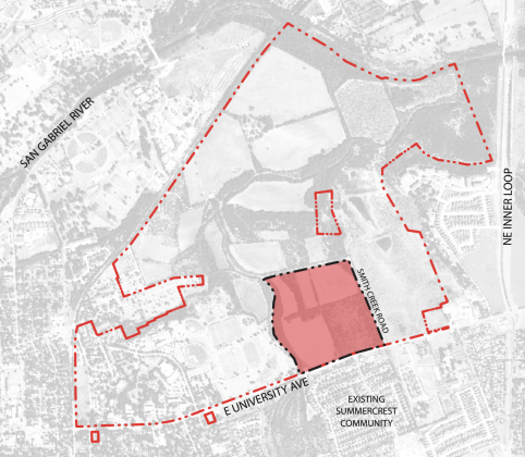
This map outlines the boundaries of the Southwestern University Public Utility District, with the development first phase of the SU 560 plan highlighted in red.
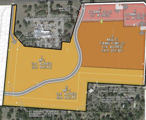
This map highlights where the high- and low-density multi-family housing would be in relation to the commercial development. Lot number four would house a gas station. (Map courtesy City of Georgetown)
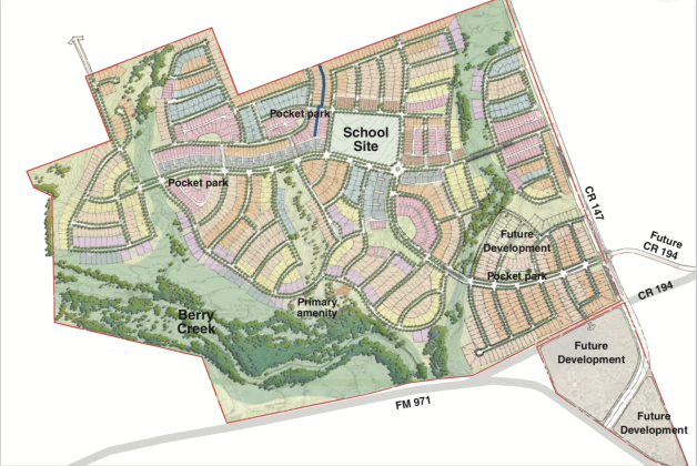
A map of the proposed development highlighted the different lot sizes according to color. However, no information on the specifics of the lot sizes or amount of houses in the subdivision were provided during the July 23 council workshop. (Map courtesy Gray Civil Engineering)
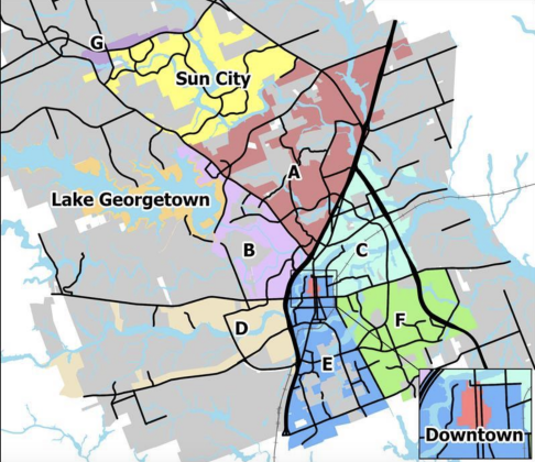
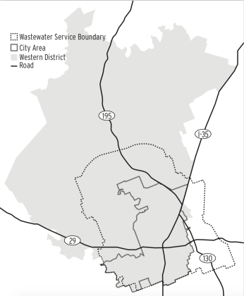
This map of the city labels the different service areas and their boundaries, which determines Transportation Impact Fee amounts. (Courtesy City of Georgetown)
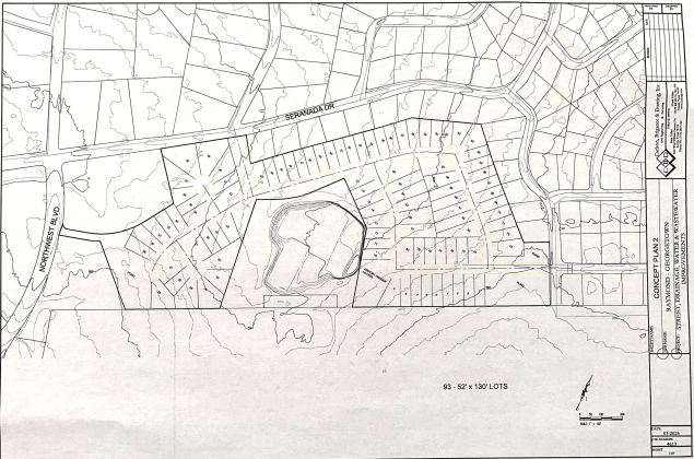
A preliminary concept plan for the development shows 93 lots for the neighborhood between Serenada and the airport. (Map courtesy City of Georgetown)