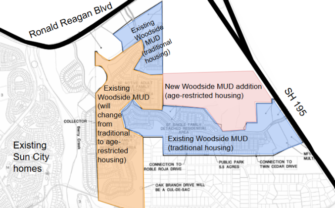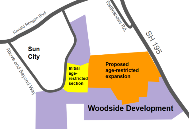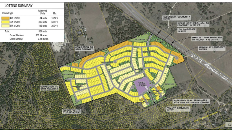
This map shows how the addition to the Woodside MUD would be plotted, with the different lot sizes color-coded. Woodside and Pulte homes are directly to the west of the tract of land. (Map courtesy City of Georgetown)
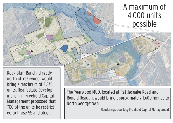
The land around the Rockbluff and Yearwood MUDs is being rezoned to accommodate for future housing in the area.
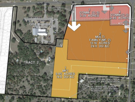
An initial plan for the NOVA mixed-use project — which spans two tracts of land — shows C3 commercial zoning along Shell Road, as well as high- and low-density multi-family. However, the commercial zoning was changed to C1 and the residential was changed to all low-density multi-family with a maximum of 10 units per acre after a city council vote April 14. This plan shows tract one. (Courtesy City of Georgetown)
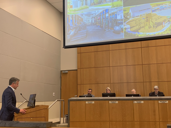
Matt Matthews, with real estate developer Freehold Capital Management, told council about the other developments the company has done in the area and what the Yearwood development could look like once finished. (Photo by Kaitlyn Wilkes)
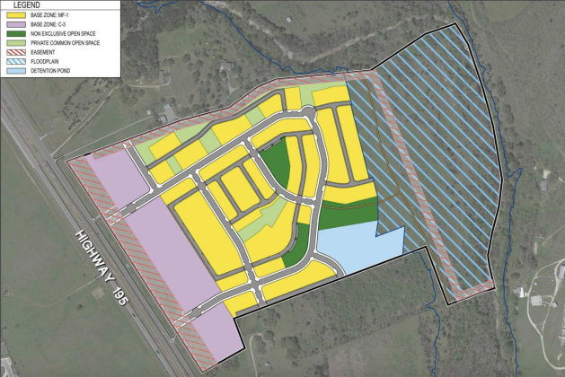
This map shows where the commercial, residential, greenspace and floodplain are located within the property. The purple shows the commercial buildings toward the front, with the yellow residential being behind it. The light green shows private common spaces and the dark green shows public common spaces. The back of the property is hatched in blue because it is in a flood plain. However, there will be a multi-use trail on that part of the property. (Courtesy of City of Georgetown)
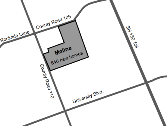
At the Melina ground breaking, from left, are Hillwood Communities representatives Trent Walker, Alyssa Siers, Logan Blok, Andrew Lee, Brian Carlock, Fred Balda, Duke Kerrigan, Carter DeWalch, Lisa Apodoca and G.P. Mehaffey. (Courtesy Hillwood Communities)
A concept plan for the Bell-Sharkey Municipal Utility District shows 395 lots east of Inner Loop and north of University Avenue, with the San Gabriel River to the north. The orange lots are 47 feet by 125 feet, and the yellow lots are 52 feet by 125 feet.
This map highlights where the high- and low-density multi-family housing would be in relation to the commercial development. Lot number four would house a gas station. (Map courtesy City of Georgetown)